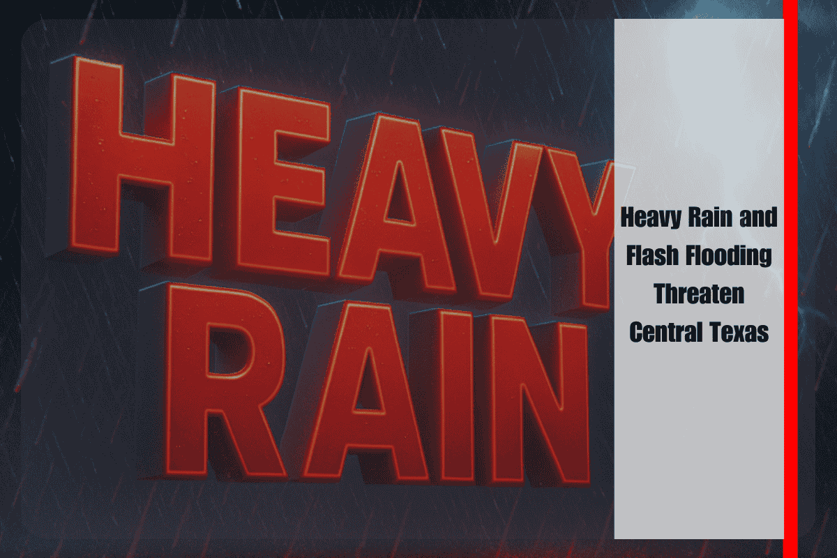
Locally heavy rainfall is soaking Central Texas today, with drivers in Austin and nearby cities facing dangerous conditions due to flash flooding and rapidly rising rivers. The National Weather Service has issued a Flood Watch for several counties, warning of potential flooding through this evening.
Flood Watch and Risk Areas
The Flood Watch remains in effect for Travis, Williamson, Llano, Kerr, Uvalde, Val Verde, and ten additional counties until 9 p.m. Monday. Rainfall totals are expected to reach 1 to 2 inches, with isolated downpours bringing up to 5 inches of rain, particularly in the Hill Country and areas west of I-35. These heavy rains could overwhelm local streams and creeks, especially in low-lying areas, increasing the risk of flash flooding.
Flash Flooding and Dangerous Travel Conditions
In Austin, Bandera, and Fredericksburg, low-water crossings are likely to become impassable quickly as creeks and streams rise. Emergency officials urge residents in flood-prone areas, including the Blanco and Guadalupe River basins, to move vehicles to higher ground and avoid travel on rural roads after dark. In Uvalde and Del Rio, swollen rivers and already saturated ground raise the risk of flash flooding and road closures.
Power outages and school delays are also possible if flooding becomes more severe. Residents are advised to stay informed and prepare for potential disruptions.
Safety Precautions and Ongoing Alerts
As storms continue, residents are urged to have a weather radio handy, keep phones charged, and avoid driving across flooded roadways. This round of storms comes as area rivers are already running high, recalling the severe flooding events from July 2021. The Flood Watch will remain in effect until 9 p.m. tonight, with the possibility of additional warnings if rainfall persists.


