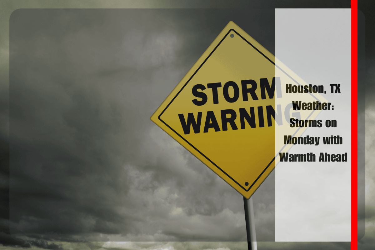
Houston is bracing for a surge of summer storms that will roll into the city by early Monday afternoon, bringing much-needed rain but also the risk of slick roads and reduced visibility for commuters, especially along I-45 and throughout Harris County.
What to Expect on Monday
According to the National Weather Service, a 50% chance of showers and thunderstorms will develop after 10 a.m. on Monday, July 14, with the most likely storm activity occurring after 1 p.m.
Skies will be mostly sunny between showers, with temperatures climbing to around 91°F. Winds will remain calm, shifting to the south at around 5 mph.
Isolated downpours could lead to brief street flooding, particularly in low-lying areas and underpasses near major freeways like I-45, I-10, and the 610 Loop. Drivers should expect slick roads and reduced visibility as storms develop.
It’s important to allow extra travel time and avoid flooded roads during heavy rainfall. Charge electronic devices ahead of Monday to prepare for possible power disruptions from thunderstorms.
Outlook for the Week
While Monday brings the highest chance for rain, Tuesday will see a 30% chance of afternoon storms, with mostly sunny conditions for the rest of the day. Wednesday will bring warmer, drier weather with mostly sunny skies and highs reaching 93°F.
On Thursday, there’s a 20% chance of afternoon storms, but the weather will mostly remain sunny. By Friday, the 50% chance of scattered showers will return, keeping conditions partly cloudy and humid.
Five-Day Forecast for Houston, TX
Monday (7/14): 50% chance of showers and thunderstorms after 10 a.m., high 91°F, winds south at 5 mph.
Tuesday (7/15): 30% chance of afternoon storms, mostly sunny, high 91°F.
Wednesday (7/16): Mostly sunny, dry, high 93°F.
Thursday (7/17): 20% chance of afternoon storms, mostly sunny, high 94°F.
Friday (7/18): 50% chance of scattered showers, partly cloudy, high 93°F.
Stay Prepared for Summer Storms
As summer storms continue to affect Houston, make sure you stay updated with weather alerts, avoid driving through flooded roads, and be ready for possible power outages.
After Monday, conditions should stabilize, and safer outdoor activities will be possible later in the week as the weather warms up.


