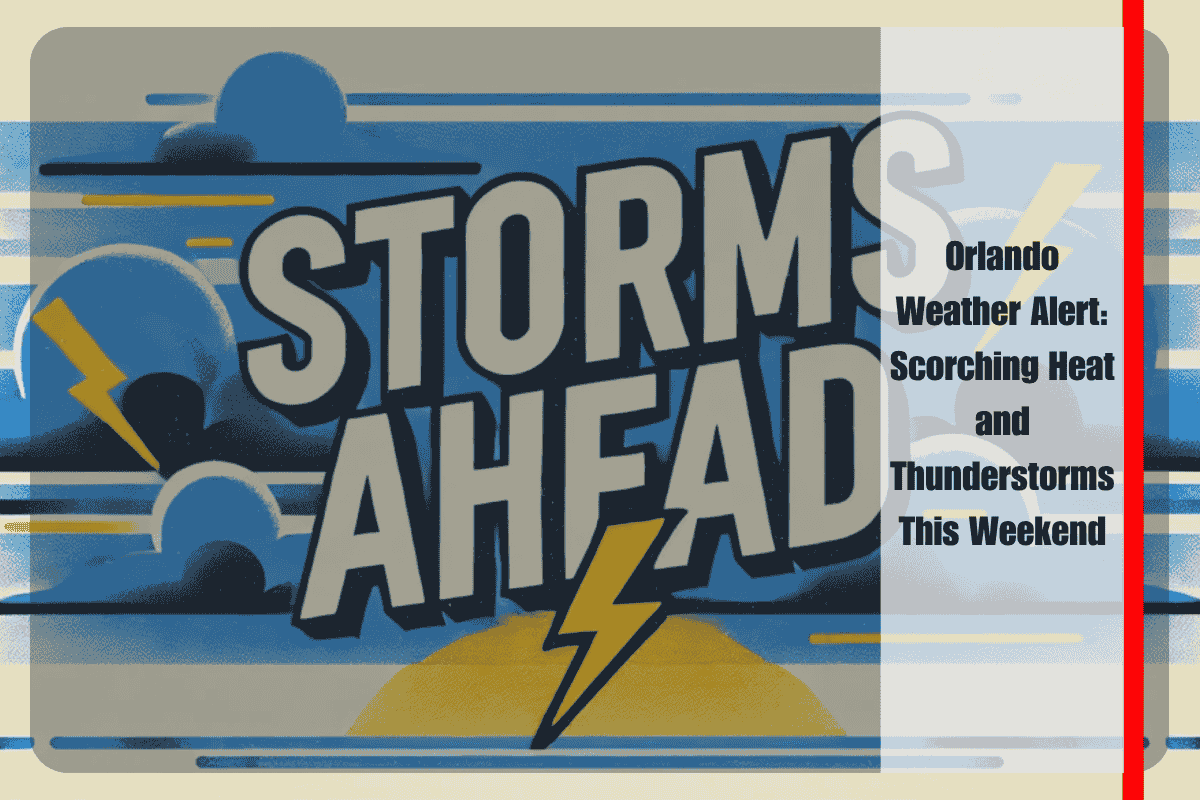
As the weekend approaches, Orlando is bracing for a hot and stormy mix. Starting Friday, July 11, temperatures will soar near 94°F, with thunderstorms expected to roll in, especially after 11 a.m. The weather will be a combination of sweltering heat and scattered thunderstorms that will make travel tricky, particularly on I-4 and local roads. Residents should be ready for sudden downpours and slippery conditions, especially during the afternoon hours.
Hot Temperatures and Thunderstorm Chances
According to the National Weather Service in Melbourne, scattered thunderstorms are set to develop by midday Friday. These storms will bring a 60% chance of rain, along with gusty winds and heavy rainfall. As temperatures climb, the heat index is expected to reach up to 102°F. South-southwest winds will only add to the humidity, making the heat feel even more intense. The most intense storm activity will likely occur through the afternoon and evening hours, making travel and outdoor activities challenging.
Safety Tips for Dealing with the Stormy Weekend
Safety is a key concern with this weather. Drivers on I-4 and other area roads should be especially cautious as rain and storms can quickly create slick and dangerous driving conditions. It’s recommended to avoid non-essential travel during storms. Make sure to secure loose outdoor items that could be affected by gusty winds, and charge your electronic devices ahead of time in case of power outages.
For those planning to be outside, always monitor the sky for changes and be prepared to seek shelter quickly. Lightning and heavy rain can arrive suddenly, and it’s best to have an indoor plan ready.
Storms Persisting Through the Weekend
This stormy weather pattern will continue into the weekend. Both Saturday and Sunday will have a 70% chance of afternoon thunderstorms, with temperatures climbing into the mid-90s. These storms may lead to localized flooding and strong winds, especially with the more intense cells. While rain usually tapers off by late evening, it’s important to stay alert to the changing weather conditions.
Looking Ahead: A Stormy Start to the Week
For Monday and Tuesday, the weather will cool down slightly, with highs around 90°F, but thunderstorms will continue to be likely each afternoon. Though severe weather is not expected, the unsettled conditions will make it difficult to plan outdoor activities for the next few days. Stay updated on the forecast, as there may be changes to advisories or warnings if the weather pattern shifts.
Five-Day Forecast for Orlando
Friday: High of 94°F, thunderstorms likely after 11 a.m. with a 60% chance of rain.
Saturday: High of 94°F, thunderstorms likely in the afternoon with a 70% chance of rain.
Sunday: High of 95°F, thunderstorms likely in the afternoon with a 70% chance of rain.
Monday: High of 92°F, afternoon showers and thunderstorms likely with a 70% chance of rain.
Tuesday: High of 90°F, afternoon storms likely with a 70% chance of rain.
It looks like Orlando will have a hot, stormy weekend. With temperatures rising and thunderstorms expected, residents should plan carefully, stay informed, and take necessary precautions to stay safe. While the rain may bring temporary relief from the heat, the ongoing risk of storms and heavy rainfall will continue, making it important to monitor the weather closely throughout the weekend and into the start of next week.


