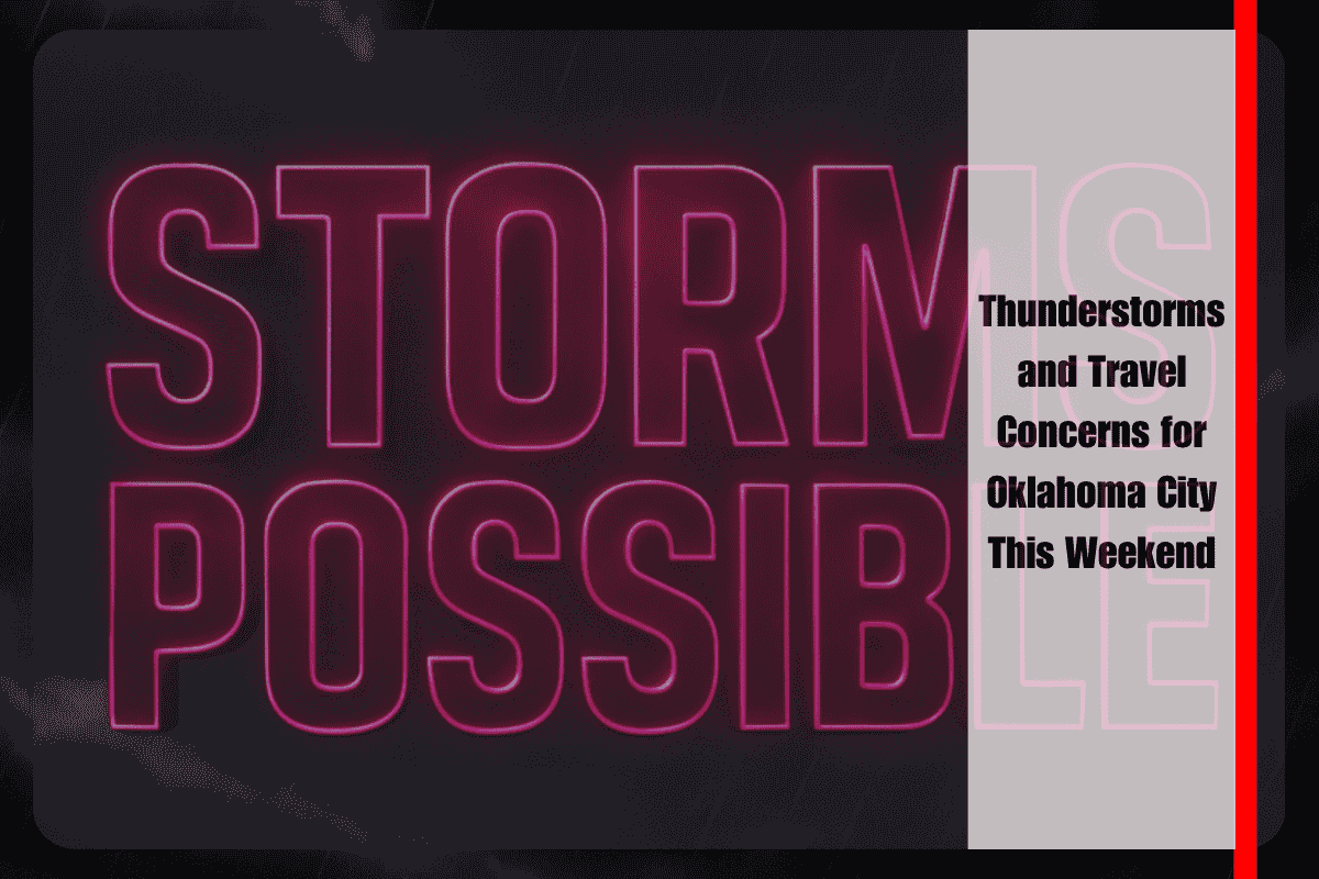
Oklahoma City, OK, is bracing for thunderstorms that could impact central Oklahoma on Saturday, disrupting summer plans and raising concerns for travelers across the metro area. While rain chances remain low, the possibility of storms developing in the late morning means residents should stay weather-aware, especially in the I-35 and I-40 corridors.
Weather Forecast and Thunderstorm Risks
According to the National Weather Service in Norman, a slight chance of showers and thunderstorms is expected to develop after 10 a.m. on Saturday, with gusts up to 20 mph. The chance of rain remains low at 20%, but thunderstorms during this time of year can still bring brief downpours and isolated lightning, even when coverage is minimal. Temperatures are expected to reach 85°F, with partly sunny skies offering short breaks from the clouds.
For those planning to be outdoors Saturday afternoon, it’s important to stay updated on the latest weather conditions and avoid open areas during any storm activity. Even though the coverage of storms may be limited, the brief downpours and lightning could still make outdoor activities hazardous.
Evening Weather Outlook
Saturday night will bring calmer conditions with mostly clear skies and lows around 71°F, providing a welcome break from the heat and storms earlier in the day.
Looking Ahead to the New Week
Sunday’s forecast calls for a high near 88°F with another 20% chance of afternoon storms. As the new workweek begins, temperatures will rise significantly, with Monday reaching 91°F, followed by 94°F on Tuesday, and 95°F on Wednesday, all under mostly sunny skies. A weak disturbance may bring a slight chance of storms on Tuesday and Wednesday afternoons, but the primary concern will be the increasing heat.
5-Day Weather Outlook for Oklahoma City (July 5–10)
Saturday: High of 85°F, slight chance of storms after 10 a.m.
Sunday: High of 88°F, isolated afternoon storms possible
Monday: High of 91°F, mostly sunny, 20% chance of afternoon storms
Tuesday: High of 92°F, slight chance of storms, hot
Wednesday: High of 94°F, mostly sunny, slight afternoon storm chance
Oklahoma City residents can expect a warm Saturday with a slight chance of thunderstorms developing in the late morning. While rain chances are low, it’s important to stay weather-aware, especially if you have outdoor plans along major travel corridors like I-35 and I-40. The heat will continue to build next week, with temperatures climbing into the low to mid-90s, and a slight risk of storms in the afternoons on Tuesday and Wednesday. Make sure to check the weather frequently and plan accordingly, as both heat and storm risks increase into the new workweek.


