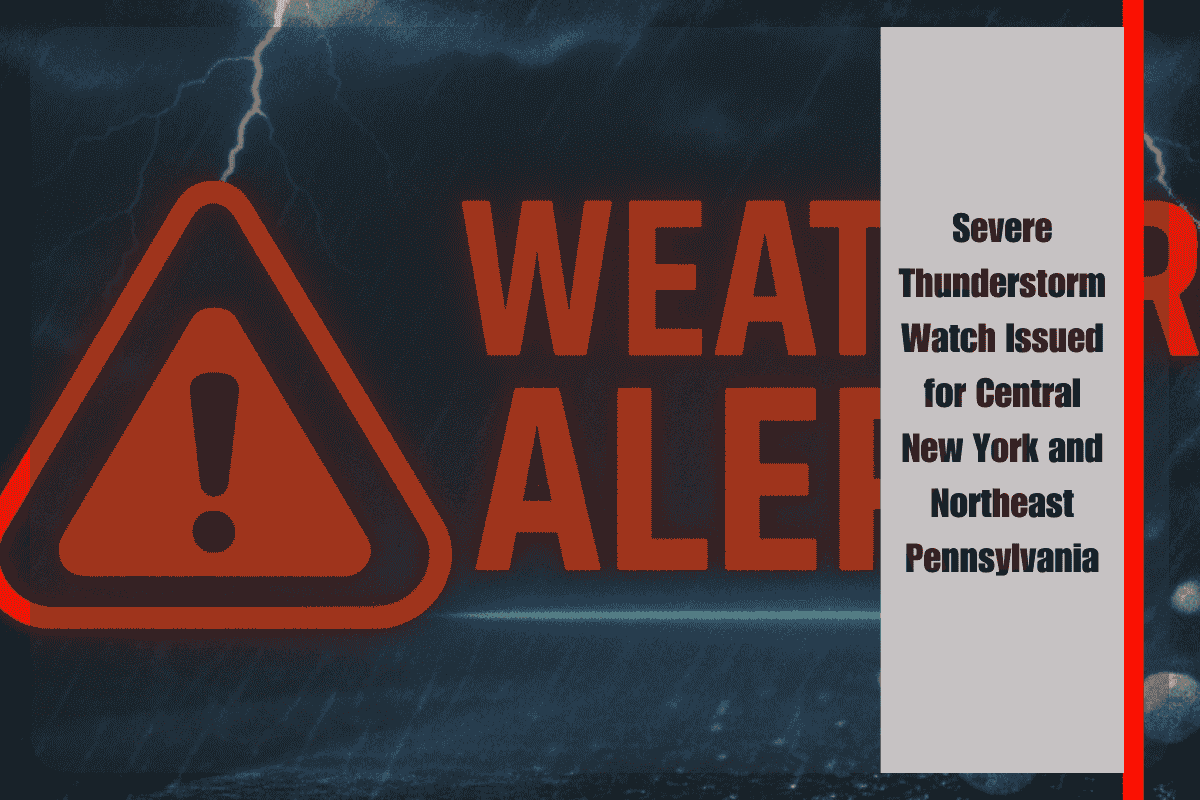
Strong storms are expected to impact parts of central New York and northeast Pennsylvania Thursday evening, as a Severe Thunderstorm Watch remains in effect for 13 counties through 10 p.m. The National Weather Service in Binghamton has warned residents of potential storm hazards, including damaging winds, hail, and frequent lightning.
Areas Under Severe Thunderstorm Watch
The watch covers several counties in New York and Pennsylvania, including Broome, Tioga, Otsego, and Delaware counties in New York, and Luzerne, Lackawanna, and Pike counties in Pennsylvania. Cities such as Binghamton, Scranton, Wilkes-Barre, and Monticello are in the threat zone, with storm risks peaking during the evening hours.
Storm Threats
The storms are expected to bring damaging wind gusts up to 60 mph, hail, and frequent lightning, which could cause power outages and tree damage. Travelers on major roads, including I-81, I-88, and Route 6, should remain alert as sudden downpours could reduce visibility and increase the risk of flash flooding. Outdoor holiday plans may need to be adjusted, especially in areas that have already seen heavy rain recently.
Safety Recommendations
Residents are urged to charge their phones, secure outdoor objects, and avoid outdoor activities until the storms pass. While tornadoes are not the primary threat, isolated rotations cannot be ruled out with stronger storm cells. It is important to monitor weather updates closely, as this is the first widespread severe weather alert in the region since early June.
Central New York and northeast Pennsylvania are under a Severe Thunderstorm Watch Thursday evening, with potential risks of damaging winds, hail, and flash flooding. Stay prepared by securing outdoor items, avoiding outdoor activities, and monitoring weather updates throughout the evening.


