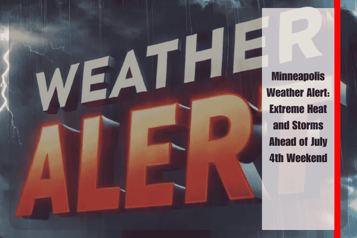
Minneapolis, Minnesota, is gearing up for a hot and stormy Fourth of July weekend as triple-digit heat indexes combine with rising rivers in central Minnesota. The National Weather Service in Chanhassen has issued warnings for potentially strong storms, intense heat, and flooding in some areas as the holiday weekend begins.
Scorching Heat and Storms Expected
Starting Thursday evening, isolated strong storms are likely to develop across southern and central Minnesota. By Friday, the heat will intensify, with the Minneapolis metro area experiencing a sweltering heat index near 97°F. The temperature will climb to 91°F, but high humidity will make it feel much hotter, creating uncomfortable and potentially dangerous conditions. Storms are expected to develop late Friday night into Saturday, potentially disrupting outdoor celebrations.
Flooding Concerns
The Crow River at Rockford is currently under a Flood Warning, which remains in effect until Wednesday morning. The river crested at 10.4 feet and is expected to stay at flood stage through Saturday. This could affect Wright and Hennepin counties, with flooding threatening roads, low-lying areas, and local riverbanks near Highway 212. Officials are urging residents to avoid flooded roadways and exercise caution near streams and rivers.
Saturday Storms and Rainfall
Heading into Saturday, there’s a 70% chance of thunderstorms, especially after 1 p.m., bringing possible thunder and locally heavy rain. Rainfall totals could reach up to three-quarters of an inch by nightfall, potentially disrupting outdoor events and travel. While Sunday offers a bit of relief with a slightly cooler high of around 79°F, the unsettled weather pattern will persist through midweek, keeping chances of more storms and humidity high.
Five-Day Forecast for Minneapolis (July 4–9)
Friday (July 4): Mostly sunny, high near 91°F. Heat index as high as 97°F. Showers and storms likely late.
Saturday (July 5): Showers and thunderstorms likely, mainly between 1–4 p.m. High near 83°F.
Sunday (July 6): Slight chance of early showers. Mostly sunny, high around 79°F.
Monday (July 7): Mostly sunny, high near 78°F.
Tuesday (July 8): 40% chance of afternoon storms. High near 81°F.
Preparing for the Weekend
With high heat, humidity, and the risk of thunderstorms, it’s essential to stay hydrated and limit outdoor exposure, especially during peak heat hours. If you’re planning to celebrate the Fourth of July outdoors, be prepared for sudden changes in the weather and potential delays due to storms. Stay safe by keeping an eye on weather updates and taking precautions around flood-prone areas.


