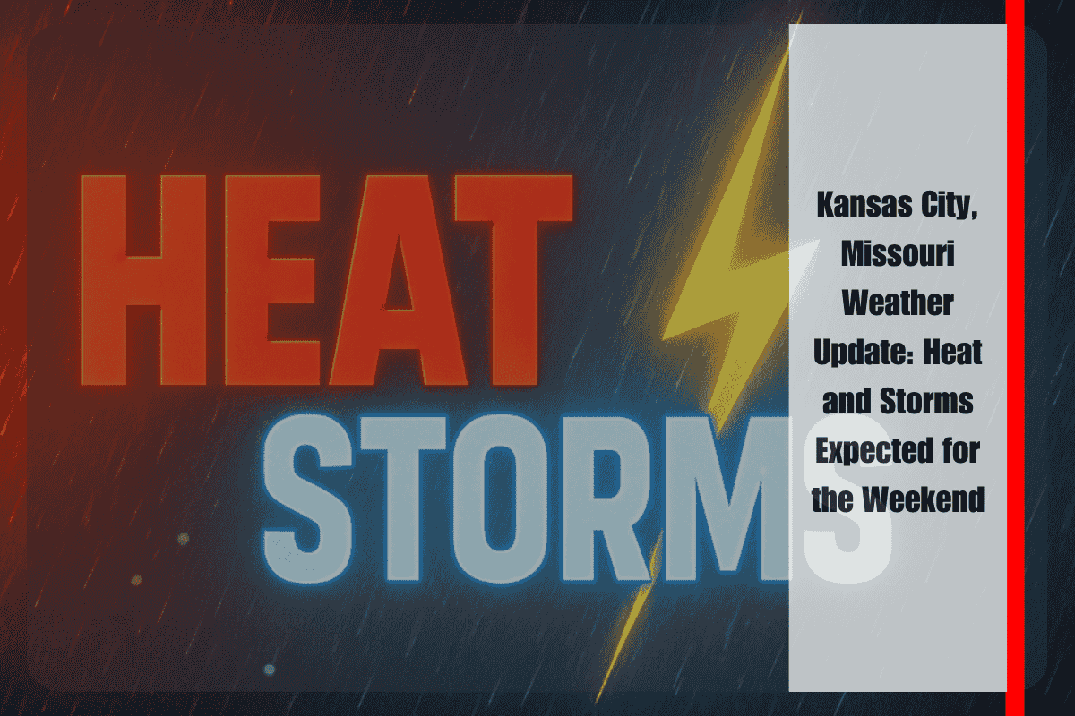
Kansas City is gearing up for a combination of scorching heat and stormy weather this weekend. On Saturday, the city will experience highs of around 90°F, with heat index values soaring to 98°F. This intense heat, combined with afternoon thunderstorms, will create potentially dangerous conditions for anyone spending time outdoors without proper precautions.
According to the National Weather Service in Pleasant Hill, Saturday morning will see the highest chances of storms, likely before 9 a.m. Afterward, hot and humid conditions will continue through the afternoon, making it feel even hotter than the actual temperature. Winds are expected to gust up to 15 mph, which will add to the discomfort of the heat. While the storm chances are lower in the afternoon, another round of storms could occur later in the evening.
The biggest threat on Saturday is localized heavy rainfall and gusty winds, which may make driving conditions hazardous, especially along major roadways like I-70 and I-35. Drivers should be aware of possible brief downpours and slick roads during their morning commute. Those planning to spend time outdoors—whether at local parks or outdoor events—are encouraged to stay hydrated and, if possible, move their activities indoors during the hottest parts of the day to avoid heat exhaustion.
Looking ahead to Sunday, Kansas City can expect similarly unsettled weather. The forecast calls for a 40% chance of storms, with highs reaching near 92°F. Thunderstorms will become more likely by Sunday night, with a 60% chance of rain continuing into early Monday. The storms could bring stronger winds and heavier rain, so residents should keep an eye on the weather and be prepared for sudden changes. While rainfall totals will vary, isolated stronger storms are possible, which could lead to localized flooding or power outages.
As we move into the beginning of next week, the heat will remain in place. Monday will see a high of 87°F, with partly sunny skies. Storm chances are still in the forecast, with a 40% chance of rain expected during the afternoon and evening. Tuesday, July 1, will offer a slight reprieve with mostly sunny skies and a high of 89°F, though a dry trend could be developing ahead of the July 4th holiday. However, the forecast for the holiday remains uncertain, with early predictions pointing to continued heat and possible thunderstorms.
Kansas City’s five-day forecast is as follows:
Friday, June 27: High 90°F, 30% chance of morning storms.
Saturday, June 28: High 92°F, heat index of 98°F, 30% chance of morning storms.
Sunday, June 29: High 92°F, 40% chance of storms in the afternoon, 60% chance of storms overnight.
Monday, June 30: High 87°F, partly sunny, 40% chance of storms.
Tuesday, July 1: High 89°F, mostly sunny, potential dry trend heading into the Fourth of July.
For those with outdoor plans or traveling this weekend, it’s essential to stay weather-aware and make adjustments as needed. The combination of heat and storms will pose challenges, so it’s important to take precautions, including staying hydrated, wearing light clothing, and avoiding prolonged exposure to the sun. As we approach the Fourth of July, it’s best to keep an eye on the forecast, as conditions could shift quickly.


