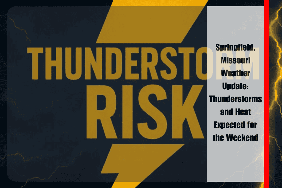
This weekend, Springfield, Missouri is bracing for a return of summer-like conditions, bringing both heat and thunderstorms. According to the National Weather Service in Springfield, scattered thunderstorms are expected to develop on Saturday, adding some unpredictability to weekend plans. The storms will begin in the morning and continue into the evening, with a 50% chance of rain throughout the day. Although these storms aren’t expected to be severe, they could still bring brief heavy rainfall, gusty winds, and lightning that may create hazardous driving conditions.
The high temperature on Saturday is expected to reach around 88°F, but with the added humidity, the heat index will climb to around 95°F, particularly along major roadways like US-60 and US-65. This combination of heat and storms will create a sticky atmosphere, making it uncomfortable for extended outdoor activities. While the storms won’t be widespread, they could disrupt summer travel and local events, especially in areas like Greene, Christian, and Webster counties.
As the weekend progresses, storm chances will persist into Sunday and Monday. There will be a 30–50% chance of storms each day, with the best chance of rain occurring during the afternoon and early evening. South winds of 5 to 10 mph may offer some relief from the heat, but they won’t be enough to break the humid, storm-prone conditions. While the storms are not expected to cause widespread severe weather, the heavy rain and lightning can still pose risks for outdoor activities and travel.
Residents, particularly those in heat-sensitive groups, are advised to limit outdoor activities during the hottest part of the day, typically between noon and 4 p.m. It’s also recommended to keep devices charged in case of brief power outages caused by the storms. If you plan to drive, be prepared for reduced visibility during downpours and be cautious of ponding water on roads. The combination of heavy rainfall and wet conditions can lead to hazardous driving situations, so it’s essential to stay alert when traveling.
Looking ahead to Tuesday, the weather will start to improve slightly, with a high of 86°F and partly sunny conditions. There are no significant storms expected on Tuesday, making it a better day for outdoor plans as the week progresses. This could be a positive sign for those planning to celebrate the 4th of July, as the weather is expected to clear up, offering more favorable conditions.
The extended five-day forecast for Springfield shows that Friday, June 27 will see a high of 87°F, with a 50% chance of storms starting after 7 a.m. The heat index will be near 94°F. Saturday will reach 88°F, with a 50% chance of storms early in the day, followed by partly sunny conditions. Sunday’s high will be around 89°F, with a 50% chance of storms and mostly cloudy skies. Monday will see temperatures around 88°F, with more storms likely after 1 p.m. By Tuesday, July 2, the weather will improve, with a high of 86°F and partly sunny skies.
As we approach the weekend, it’s important to stay weather-aware and be prepared for changes in conditions. Thunderstorms could cause disruptions, but by midweek, clearer skies are expected. This is a crucial reminder for those planning summer events or traveling this holiday season to monitor the forecast regularly.


