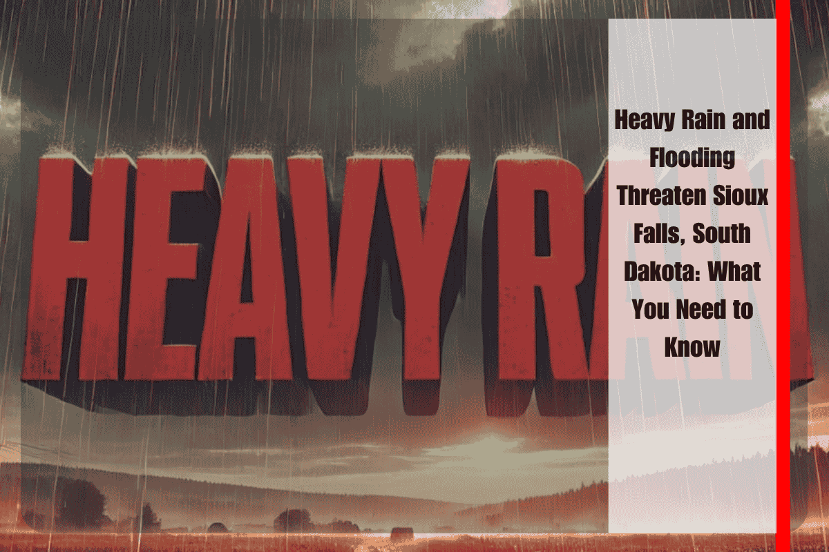
Sioux Falls, South Dakota, is bracing for widespread heavy rain that will begin late Tuesday night and continue through Thursday, with rainfall totals of up to 4 inches expected. As the rain falls, the risk of flooding across the region is growing, especially in urban areas and along smaller streams.
Rainfall Forecast and Areas Affected
The National Weather Service in Sioux Falls reports that an active weather pattern will bring repeated rounds of rain to the region. Southeast South Dakota, southwest Minnesota, northwest Iowa, and northeast Nebraska will all be impacted. While most areas can expect between 2 and 4 inches of rain, some spots, particularly in northeast Nebraska and northwest Iowa, may see even higher totals.
The heavy rain will likely lead to flooding in urban areas like Sioux Falls, Yankton, and Norfolk, with smaller streams also at risk of overflowing. Residents in these areas should stay alert to the possibility of flash flooding.
Flooding and Travel Safety
Local emergency management officials are warning residents to stay off water-covered roads, particularly during the overnight hours when visibility will be poor. If you’re out driving, it’s crucial to remember that roads can become dangerous quickly when flooded. Areas along I-29, Highway 81, and various regional farm routes are expected to see rapidly changing road conditions. If you’re traveling, always be prepared for the possibility of water over the roads.
On Wednesday, some minor hail and strong storms are possible, with the risk of an isolated tornado. Though not widespread, these storms could intensify quickly, adding to the already heightened concerns about flooding and severe weather.
Tips for Staying Safe
As heavy rain continues to pour, it’s important to stay prepared. Residents should:
Charge electronic devices in case of power outages.
Review flood plans and ensure you have an evacuation route if necessary.
Monitor local weather alerts closely for updates, as conditions may change rapidly.
When Will the Rain End?
The warnings for heavy rain and flooding will remain in effect through Thursday, with more updates expected as rain bands develop. The situation is still unfolding, so it’s important to continue tracking weather updates and follow any advice from local authorities.
Sioux Falls and surrounding areas in South Dakota are preparing for significant rainfall and flooding starting late Tuesday night. With the potential for up to 4 inches of rain and isolated strong storms, residents need to stay alert and follow safety recommendations. Flooding, especially on roads, is the biggest concern, and those in affected areas should be prepared for rapidly changing conditions. Stay informed through local weather updates to ensure safety through Thursday.


