Philadelphia, along with much of east-central and southeastern Pennsylvania, is under the grip of an intense heatwave. By Wednesday afternoon, temperatures in the city are expected to reach a scorching 101°F, with heat index values nearing 106°F. The National Weather Service has issued an Extreme Heat Warning through 8 p.m. Wednesday for Philadelphia, Allentown, Norristown, and the I-76 corridor, as high temperatures and humidity combine to create dangerous conditions.
The most hazardous heat is predicted to hit midday Wednesday, with high humidity and southwest winds trapping heat across the region. The oppressive heat will continue through the day, with overnight lows remaining near 80°F, providing little relief. This extreme heat can lead to heat-related illnesses, especially for those without air conditioning or those in vulnerable conditions.
What You Need to Know About the Heatwave:
In light of the extreme temperatures, officials are urging residents to stay indoors as much as possible, particularly during peak heat hours. If you must be outdoors, avoid strenuous activities and drink plenty of water to stay hydrated. Heat-related illnesses can develop quickly, so it’s important to look out for symptoms such as dizziness, rapid pulse, and nausea. Those living without air conditioning should take extra precautions. It’s also advised to check on elderly neighbors, as they are especially at risk during extreme heat.
Car interiors can heat up dangerously fast, so it’s crucial not to leave children or pets unattended in vehicles. If you need help locating a cooling center, call 211 for assistance.
Roads across the Philadelphia area, including I-76, I-95, and Route 1, may experience delays due to overheated engines and a rise in emergency calls. For those using public transit, SEPTA riders should carry water and expect potential delays as heat-related issues could affect service by late afternoon on Wednesday.
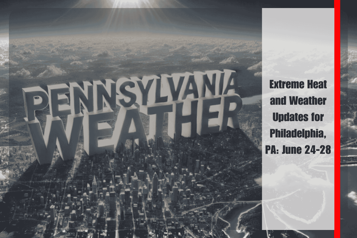
Five-Day Weather Forecast for Philadelphia (June 24–28):
The heat continues through Wednesday, June 24, with a high of 101°F, accompanied by a heat index up to 106°F. Wednesday, June 25, will see a slightly cooler high of 97°F, though the heat index could still reach 103°F, and there’s a slight chance of storms after 2 p.m. On Thursday, June 26, temperatures will cool slightly to around 91°F, with thunderstorms and showers expected after 2 p.m. By Friday, June 27, the high will be near 80°F, and scattered storms are likely, with cooler temperatures overnight. Saturday, June 28, will bring more scattered storms with a high around 84°F, making it a little muggy but still more manageable than the previous days.
Philadelphia is experiencing one of its hottest spells this week, with extreme heat continuing through Wednesday. The heat index will make temperatures feel even hotter, so it’s important for residents to take extra precautions. Staying hydrated, avoiding outdoor activities during peak heat hours, and checking on vulnerable individuals are essential actions to take. While the heat will ease slightly by Thursday, high humidity and the chance of storms will persist throughout the weekend, offering little relief from the sticky, uncomfortable conditions.


