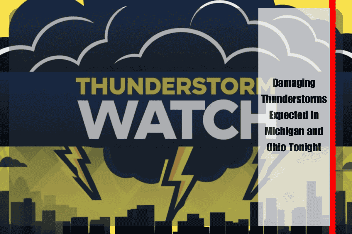
Detroit, Michigan – A powerful storm system is set to hit parts of Michigan and Ohio this evening, bringing damaging thunderstorms with wind gusts up to 70 mph, hail as large as ping pong balls, and even the potential for isolated tornadoes before 10 p.m. EDT Wednesday.
Severe Thunderstorm Watch Issued for Michigan and Ohio
The National Weather Service Storm Prediction Center has issued a Severe Thunderstorm Watch for southern Lower Michigan and northwest Ohio, including major cities like Detroit, Toledo, and Ann Arbor. This fast-moving storm, known as a bow echo, was moving northeast from Indiana as of 4:10 p.m. EDT.
Areas at High Risk for Severe Weather
Cities at the highest risk include Lansing, Monroe, Flint, Adrian, and Findlay. The strong winds could cause scattered trees and power lines to fall, while hail could damage vehicles and roofs. Motorists traveling on I-75, I-69, and I-80 should be prepared for sudden visibility loss due to heavy rain and strong crosswinds.
Safety Tips and Precautions
Residents are urged to take necessary precautions, including securing outdoor items, charging devices in case of power outages, and avoiding unnecessary travel throughout the evening. Schools and hospitals across more than a dozen counties may be impacted, so it’s important to stay updated on local weather reports.
This storm is part of the same system that caused severe weather across the Midwest earlier this week, and its effects are expected to continue as it moves northeastward.


