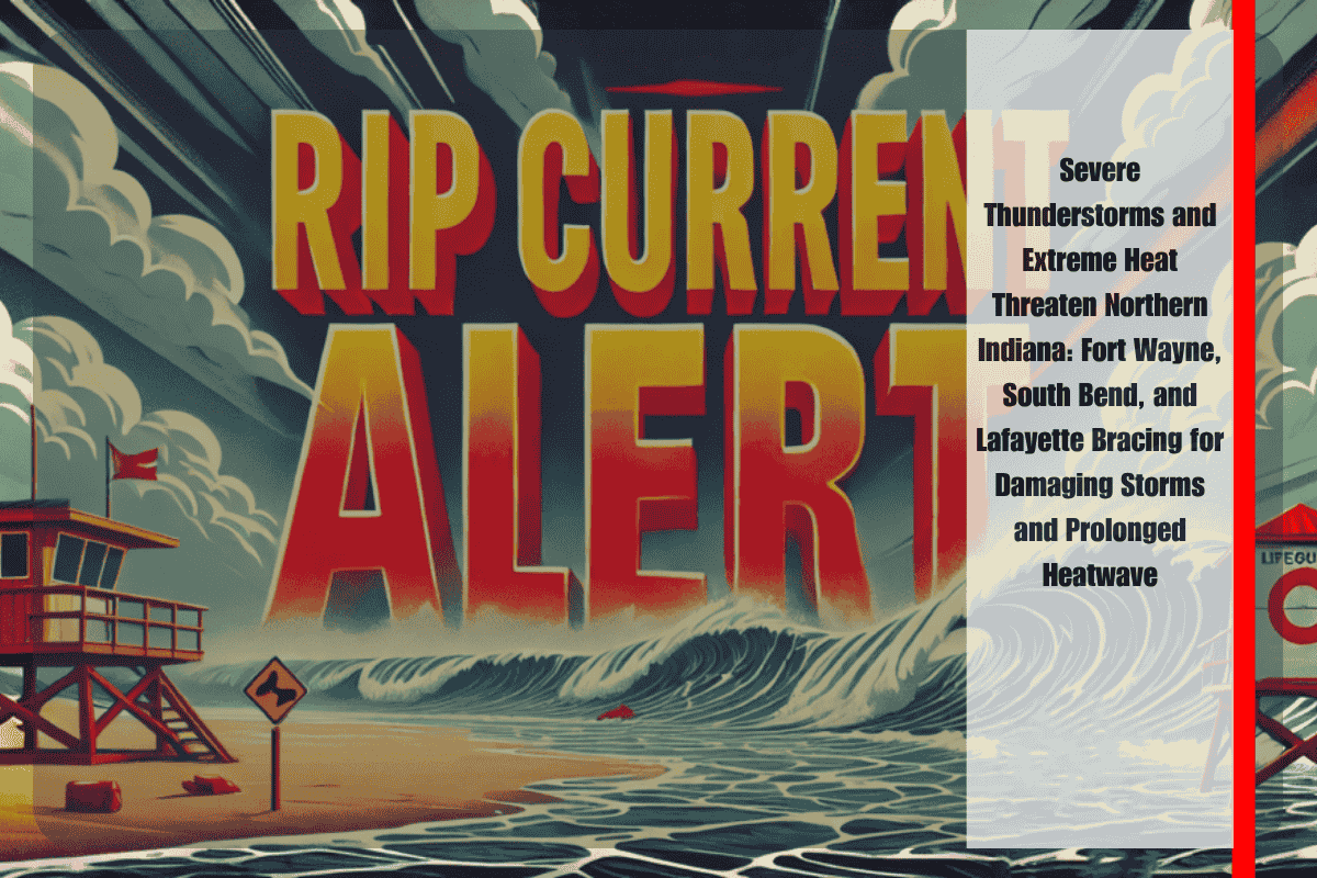
Fort Wayne, Ind. – A dangerous combination of severe thunderstorms and extreme heat is taking aim at Northern Indiana, with damaging storms expected this afternoon and a prolonged heatwave beginning this weekend. The National Weather Service has issued an Enhanced Risk (Level 3 of 5) for most of the region, including Fort Wayne, South Bend, and Lafayette, from 2 to 9 p.m. EDT today. The primary threats associated with this storm system include damaging wind gusts over 60 mph, localized flooding, and large hail, with tornadoes also remaining a possibility.
The storms are expected to move through the area rapidly, but widespread tree damage, power outages, and road flooding are likely. Residents are strongly encouraged to stay informed and have multiple ways to receive weather alerts. Traveling during the peak hours of the storm is discouraged due to the risk of severe weather impacts.
Looking ahead to the weekend, the focus shifts to a dangerous heatwave. Starting Saturday, intense heat will grip the region, with high temperatures ranging from 88°F to 95°F. The combination of high temperatures and humidity will make it feel as though the heat index is approaching or surpassing 100°F, continuing through Tuesday. Overnight lows in the 70s will provide minimal relief, further raising the risk of heat-related illnesses, particularly for vulnerable populations.
As this will be the hottest stretch of the summer so far, residents should limit outdoor activities, stay hydrated, and check on elderly neighbors or those without access to air conditioning. Excessive Heat Advisories could be issued as early as Saturday, signaling the continued threat from the heat.
The weather situation will remain unsettled through tonight, with storm warnings in effect until 9 p.m. Localized power outages and storm damage are expected, and the transition to excessive heat will begin shortly after.
5-Day Forecast for Northern Indiana
Wednesday: Severe thunderstorms are expected from 2–9 p.m., with highs near 90°F and damaging winds and flash flooding possible.
Thursday: Expect clearing skies with breezy conditions, highs in the upper 80s.
Friday: Mostly sunny, with highs ranging from 87°F to 89°F and muggy conditions.
Saturday: Hot, with highs between 88°F and 92°F and a heat index ranging from 92°F to 98°F, lows between 71°F and 74°F.
Sunday: Very hot, with highs from 92°F to 95°F, and heat indices ranging from 98°F to 100°F, lows between 72°F and 75°F.
Northern Indiana is in for a challenging weather period, with severe storms likely this afternoon, followed by a dangerous heatwave starting this weekend. Residents should be prepared for rapid weather changes, including possible storm damage and widespread power outages. The upcoming heat poses a serious health risk, especially for vulnerable individuals. Stay safe by limiting outdoor exposure, staying hydrated, and preparing for the severe weather and heat that will define the coming days.


