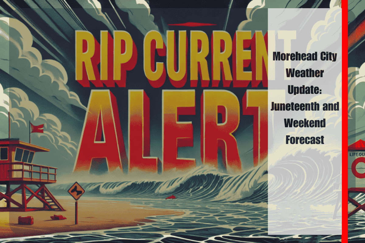
Morehead City, NC – Beachgoers and swimmers across Eastern North Carolina should be cautious this week due to dangerous rip currents that are expected to persist until Wednesday evening. These powerful currents can create life-threatening conditions, especially along Shackleford Banks and Bogue Banks beaches. Additionally, a shift in the weather pattern will bring potential storms and a heatwave for the upcoming Juneteenth holiday and weekend.
Rip Current Risk on Wednesday
On Wednesday, rip currents will continue to pose a significant threat, particularly a couple of hours on either side of low tide, which occurs around 7:38 a.m. Officials recommend staying out of the water during these times to avoid being swept away. If you get caught in a rip current, do not fight it; instead, swim parallel to the shore until you escape the current, and then swim back to land safely.
Thursday’s Weather Outlook
The weather will shift on Thursday, with a cold front triggering an isolated chance of strong to severe thunderstorms in the afternoon and evening. While temperatures will be slightly cooler than on Wednesday, the high will still reach near 89°F, and humidity levels will make it feel much hotter. The chance of thunderstorms could bring brief relief, but residents should be prepared for potential disruptions.
Weekend Weather
As the weekend approaches, Morehead City will see a mix of sunny and cloudy days with a continued chance of thunderstorms. Friday is expected to be mostly cloudy with likely showers and the possibility of a thunderstorm, reaching a high of around 88°F. Saturday will be mostly sunny with a high near 87°F, and there will be a chance of showers and thunderstorms in the afternoon. On Sunday, the weather will stay mostly sunny with a chance of thunderstorms after 2 p.m., and temperatures will rise to about 89°F.
Heatwave Ahead
Looking ahead to early next week, the combination of intense heat and humidity will become more pronounced. Heat indices are forecasted to climb between 100 and 105 degrees on Thursday, with temperatures possibly reaching 110°F by Monday. These conditions could be dangerous for outdoor activities and vulnerable individuals, so residents should stay hydrated, limit outdoor exposure during the hottest parts of the day, and ensure their air conditioning is working properly.
Five-Day Forecast for Morehead City, NC
Wednesday: A slight chance of showers and thunderstorms after 1 p.m. Sunny, with a high near 91°F.
Thursday: A chance of showers and thunderstorms after 2 p.m. Mostly sunny, with a high near 89°F.
Friday: Showers likely, possibly a thunderstorm. Mostly cloudy, with a high near 88°F.
Saturday: A chance of showers and thunderstorms. Mostly sunny, with a high near 87°F.
Sunday: A chance of thunderstorms after 2 p.m. Mostly sunny, with a high near 89°F.
The weather in Morehead City will present challenges for beachgoers and residents over the next few days. Rip currents will be a major concern on Wednesday, and Thursday will bring a risk of strong storms along with the beginning of a dangerous heatwave. With high temperatures expected to reach the low 90s and heat indices climbing into the triple digits, residents should take steps to stay cool and avoid heat-related illnesses. Prepare for a mix of sun, clouds, and thunderstorms over the weekend, and stay aware of rapidly changing conditions.


