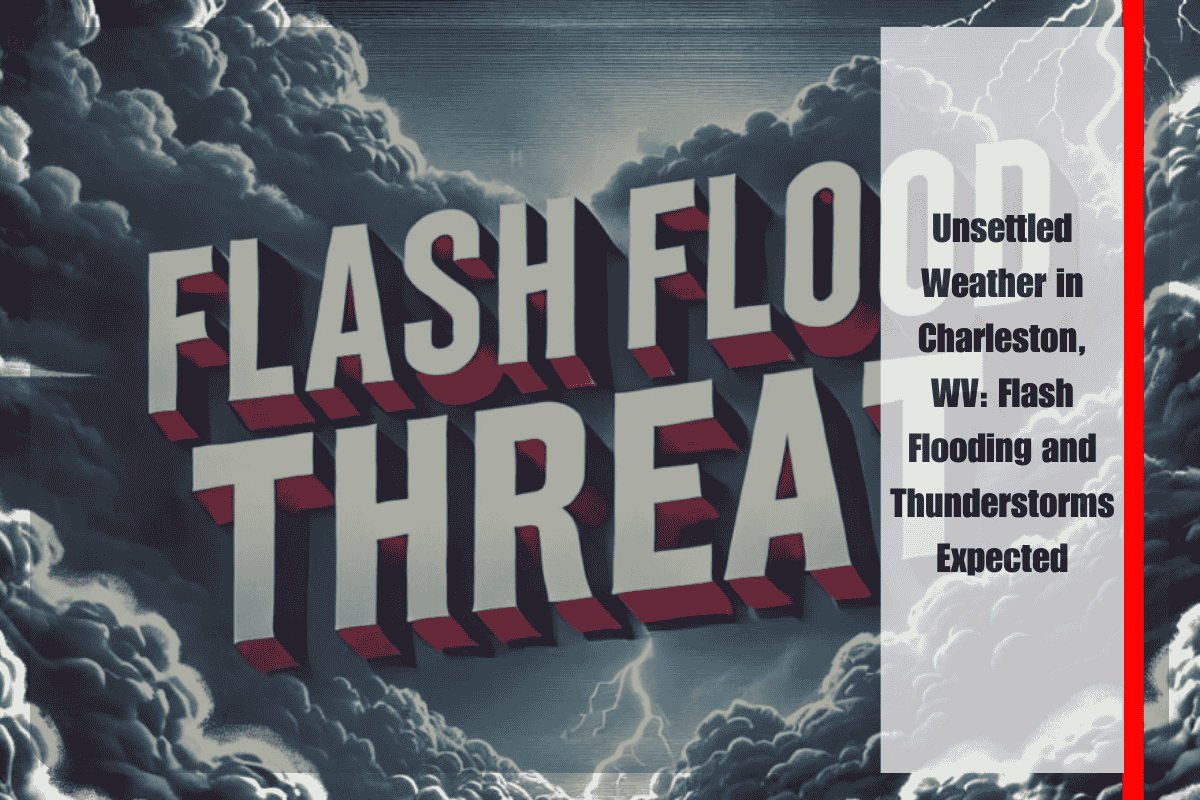
Residents of Charleston, WV, and surrounding areas should prepare for unsettled weather this week, as rounds of heavy showers and thunderstorms bring a persistent risk of localized flash flooding. The National Weather Service has issued a Hazardous Weather Outlook for the region, which will remain in effect through Thursday evening. The primary concern is the potential for heavy rain from Tuesday to Thursday, leading to flash flooding, particularly in Kanawha County and the Charleston area.
In addition to flash flooding, there is a risk of isolated severe thunderstorms, especially Tuesday afternoon and again late Wednesday into Thursday. These storms could disrupt travel along major highways like I-64 and I-77, causing dangerous driving conditions and poor visibility. Residents should remain cautious when traveling, especially during stormy periods.
What to Expect This Week
Tuesday: Showers and thunderstorms are expected to develop, particularly before midnight, with a high temperature reaching around 86°F and a low of 69°F. The storms could be intense, bringing heavy rain that may quickly lead to flash flooding in vulnerable areas.
Wednesday: The threat of thunderstorms continues, especially after 2 p.m. As the day warms up to a high of 86°F, the storms may become more widespread, potentially causing disruptions in the afternoon and evening. The low will dip to 70°F, and the rain may continue into the night.
Thursday (Juneteenth): The weather pattern remains stormy with more showers and thunderstorms expected, particularly before 2 p.m. Temperatures will be slightly cooler, with a high of 82°F and a low around 66°F. Thunderstorms could make outdoor plans for the Juneteenth holiday challenging, so stay tuned to weather updates and be ready to adjust plans if necessary.
Friday: A break in the stormy weather is expected, with mostly sunny skies returning and a high temperature of 86°F. The low will be around 65°F, marking the beginning of a more stable weather pattern that will continue into the weekend.
Saturday and Sunday: The weekend promises clear skies and warmer conditions. Saturday will be mostly clear with a high near 89°F, while Sunday will bring sunny and hot weather, with temperatures reaching up to 95°F.
Safety Tips for the Week
As heavy rain and thunderstorms move through Charleston this week, it’s important to stay informed and take precautions to stay safe:
Flash Flooding: If you come across a flooded roadway, never drive through it. Flash floods can develop quickly, and water depth may not be obvious.
Severe Thunderstorms: Stay inside when storms are approaching, as lightning can pose a significant danger. Make sure you have a way to receive weather warnings in case conditions worsen.
Travel Disruptions: Keep an eye on traffic updates for I-64 and I-77, as storms may impact travel and make driving hazardous.
While the weather in Charleston, WV, will be unsettled through Thursday, conditions will improve just in time for the weekend. Stay alert to changing weather patterns, and be prepared for heavy rain and thunderstorms. Once the storms pass, the weekend looks sunny and warm, perfect for outdoor activities.


