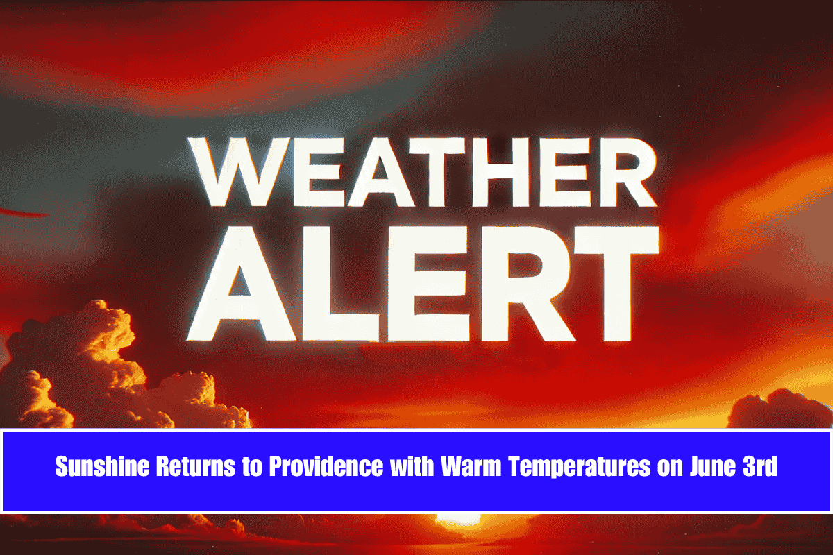
Manchester, New Hampshire, will see summer warmth return on Tuesday, June 3rd, with sunny skies and temperatures near 80°F. The Merrimack Valley will enjoy dry roads and clear weather, making for good travel conditions along I-293 and I-93. The heat will stay through midweek before storms return later in the week.
Warm and Sunny with Calm Winds
The National Weather Service reports calm winds and strong sunshine for Tuesday, with highs around 80°F across Hillsborough County. Tuesday night will stay mostly clear, with temperatures dropping to around 52°F—perfect for evening walks or sleeping with open windows.
Heat Peaks on Wednesday, Storms Return Thursday
Wednesday will be even hotter, with temperatures soaring to 88°F. On Thursday, a change arrives with a 30–40% chance of afternoon thunderstorms after 2 p.m., and highs near 91°F. Residents should keep an eye on weather updates, especially in areas prone to flooding or poor drainage.
Rain and Storms Likely Friday into Weekend
The chance of rain increases Thursday night into Friday, reaching about 50%. Showers are expected to continue into the weekend, which could affect outdoor events, travel, and construction work.
Health Warning: Wildfire Smoke Could Affect Air Quality
Smoke from Canadian wildfires might drift into the region, causing hazy skies and possible air quality issues. People sensitive to smoke or with respiratory problems should limit outdoor activities.
Manchester 5-Day Summer Weather Forecast
Tuesday (June 3): Sunny, high near 80°F. Calm winds.
Wednesday: Sunny and hot, high near 88°F.
Thursday: Chance of storms after 2 p.m., high near 91°F.
Friday: Showers likely, cloudy, high near 85°F.
Saturday: Showers continue, cooler, high near 79°F.
Manchester will experience warm, sunny weather at the start of the week, with temperatures rising quickly before thunderstorms arrive Thursday afternoon. Rain and cooler conditions will follow into the weekend. Residents should stay alert for weather updates and take precautions if affected by wildfire smoke.


