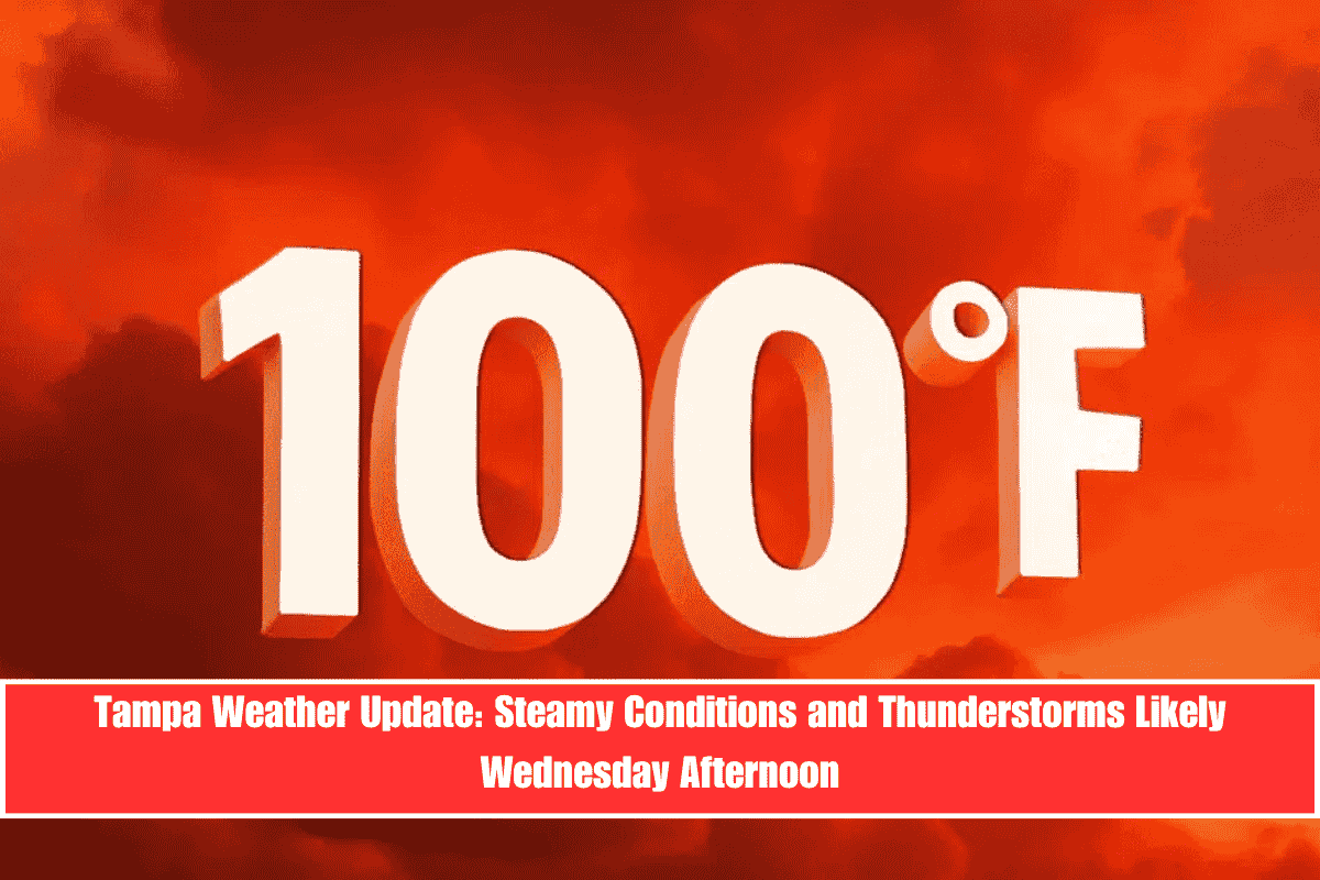
Tampa residents should prepare for a hot and stormy Wednesday afternoon, as a combination of triple-digit heat index values and developing thunderstorms could create travel delays and hazardous conditions. According to the National Weather Service, widespread showers and thunderstorms are expected to develop after 2 p.m., with highs near 94°F and heat index values soaring to 100°F.
Heat and Storms Expected Wednesday Afternoon
As storms move in from the Gulf, Tampa will experience reduced visibility and heavy rain, particularly on major routes like I-275 and I-4. The storms may disrupt late afternoon and evening commutes, creating slick roads and poor visibility for drivers. Winds will shift southeast at 5 to 10 mph before the storms begin to roll through, bringing lightning and sudden downpours.
Residents of Hillsborough County should expect localized flooding, especially on low-lying roads, as heavy rain could pool quickly in those areas. The storms could also lead to brief power outages and hazardous outdoor conditions, so it’s recommended to reschedule outdoor plans, exercise, or work to earlier in the day.
Thunderstorms Expected to Continue Into Thursday
While the thunderstorms are expected to die down a bit by Wednesday night, isolated storms will likely persist through Thursday. Another round of thunderstorms is possible before midnight. The heat will continue, with a 70% chance of rain on Thursday and highs around 91°F.
By Friday, the storm coverage will decrease slightly, but scattered storms are expected in the afternoon. The weekend will bring a return to stormy conditions, with morning storms likely on Saturday and scattered storms on Sunday, keeping temperatures in the low 90s.
Five-Day Forecast for Tampa (June 10–15)
- Tuesday (June 10): Isolated PM showers. High 93°F.
- Wednesday (June 11): Showers and storms likely after 2 p.m. High 94°F, Heat index 100°F.
- Thursday (June 12): Scattered storms through the day and night. High 91°F.
- Friday (June 13): Isolated AM rain, storms likely PM. High 91°F.
- Saturday (June 14): Morning storms likely. High 92°F.
- Sunday (June 15): Scattered storms. High 92°F.
Safety Tips for Tampa Residents
With the intense heat and thunderstorms, residents should take precautions to stay safe:
- Avoid outdoor activities during peak heat: Reschedule plans to the early morning to avoid the hot, stormy afternoons.
- Stay hydrated: Drink plenty of water to prevent dehydration in the heat.
- Prepare for flooding: Be cautious of pooling water on low-lying roads and avoid driving through flooded areas.
- Keep an eye on weather updates: Stay informed about storm timing and possible delays in local travel.


