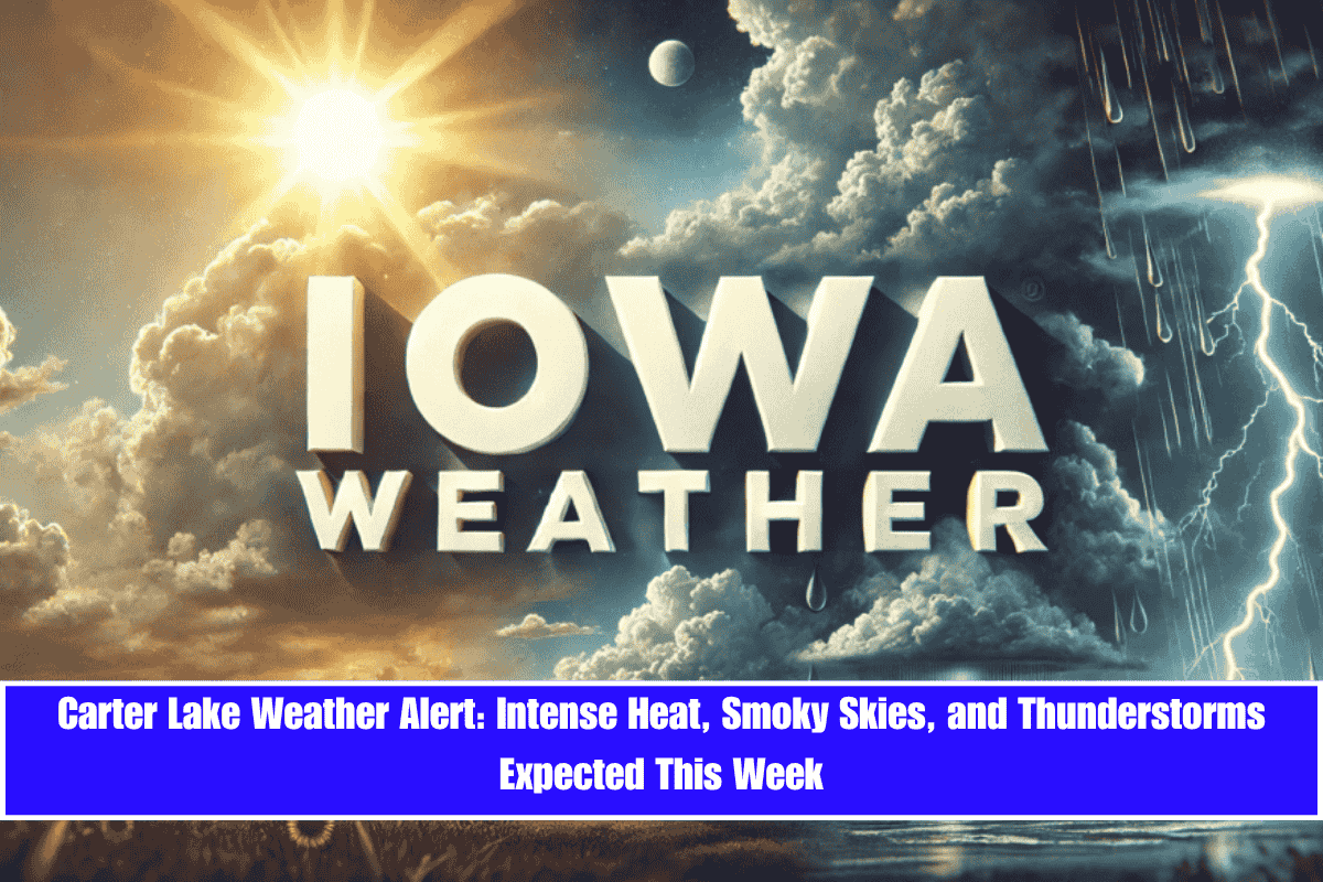
Carter Lake, Iowa – A stretch of scorching summer weather is heading to western Iowa, with blazing sun, smoky skies, and rising temperatures. A Summer Weather Alert is in effect as the region prepares for heat and air quality concerns through Wednesday, along with an increasing risk of thunderstorms later in the week.
Air Quality and Heat Build-Up
According to the National Weather Service in Omaha/Valley, wildfire smoke will continue to affect visibility and air quality across Pottawattamie County and surrounding areas on Monday, causing hazy skies and poor air conditions. By Tuesday, the heat will begin to ramp up, with highs near 87°F and calm winds shifting southward in the evening, signaling the start of a heatwave.
Extreme Heat Expected Wednesday
The real heat hits on Wednesday, June 11, with Carter Lake and the greater Omaha metro area forecast to experience the hottest day of 2025 so far. Highs will soar to 94°F under sunny skies, accompanied by south winds gusting up to 20 mph. As temperatures climb, it’s essential to stay hydrated, limit outdoor exposure, and check on vulnerable neighbors to avoid heat-related illnesses.
Thunderstorm Risk Late in the Week
The chance of showers and thunderstorms increases starting Wednesday night, continuing through Thursday and Friday. Although most storms are expected to be scattered, there is a risk that some could turn severe, bringing strong wind gusts and heavy rain. South winds at 10–20 mph could make outdoor activities risky, especially as storms develop later in the week.
Five-Day Forecast for Carter Lake (June 10–14)
- Tuesday (June 10): Sunny, high 87°F. Light south winds.
- Wednesday (June 11): Sunny, high 94°F. Slight storm risk at night.
- Thursday (June 12): 40% chance of storms, high 88°F. Gusty south winds.
- Friday (June 13): Slight storm chance, partly sunny, high 87°F.
- Saturday (June 14): Storms remain possible, high 86°F, more humid.
Prepare for Intense Weather and Stay Safe
With a combination of smoky skies, extreme heat, and the potential for thunderstorms later in the week, it’s important to stay prepared and stay safe. Keep an eye on air quality reports, take precautions against heat, and monitor the weather for possible storm developments. Late-week thunderstorms may bring severe conditions, so be ready to adjust your plans accordingly.


