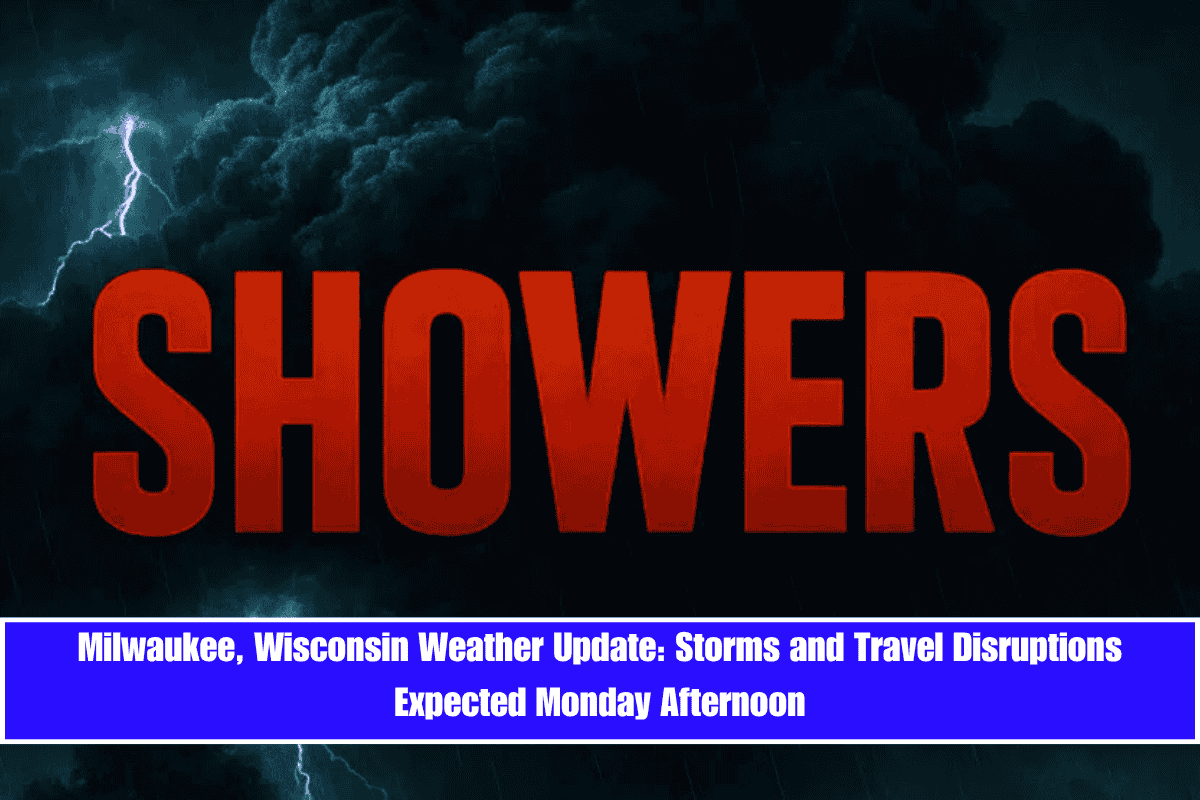
Storms are expected to develop over southeastern Wisconsin Monday afternoon, potentially causing disruptions to travel along major Milwaukee roadways just in time for lunch-hour traffic.
According to the National Weather Service, there is a 60% chance of showers and thunderstorms between 1 p.m. and 4 p.m. Monday, followed by scattered rain into the evening. Gusts may reach 15 mph from the southwest. Commuters should prepare for wet pavement and sudden slowdowns, especially on Interstates 94 and 794, which run through the heart of the metro area.
Monday’s high will be around 68°F, a slight dip from Sunday’s 72°F, as thick clouds and unstable air suppress temperatures. Rainfall totals are expected to be light, generally less than a tenth of an inch, but isolated thunderstorms could bring heavier rain and reduced visibility.
After a quieter Monday night, skies will clear on Tuesday and Wednesday, with highs rebounding to 74°F and 81°F, respectively. Winds will remain mild, and no major weather is expected, giving residents a break from the unsettled pattern.
Another round of thunderstorms will return Thursday afternoon, bringing a 50% chance of rain through Friday. Highs will remain in the low 70s, with overnight lows near 58°F.
Storms may linger into early Saturday, with a 40% chance of rain. It’s advised to keep devices charged and limit outdoor plans during the afternoon hours.
More updates are expected if conditions change—stay weather-aware through Friday, June 13.


